The Abandoned Village at 3 Mile Hill

The Abandoned Village at 3 Mile Hill

Ever heard of Kourabada Village?

Many of you may have come across a street called Kourabada Street in Badili. Its roots go back to Hubert Murray Highway or three mile in Port Moresby.

Kourabada was the name of an early Koitabuan village along what we now know as Hubert Murray Highway. It was inhabited by Koitabuans yet ironically had a name originating from the Motuans. Many of the places in Port Moresby were named by Motuans and these names were carried on by the early colonizers.

Motuans have a way of naming places and those officially recognized tend to be of a descriptive nature of either the people or the natural surroundings.

For example, Hanuabada (Motuan) literally means Big Village which at first consisted of three separate villages and then gradually became recognized as one “big village”.

In the case of its nearby Motuan village Porebada: Pore is Motuan for sandbank and bada meaning big, hence, large sandbank.

In the case of Kourabada, the word Koura means valley or a piece of land at the foot of the mountains or one “engulfed” by steep hills.

According to documents cited, the village existed until around 1920’s. It even had a ward councillor which clearly indicates as a formally recognized place within the Port Moresby District.

A census taken 20 years earlier revealed that the village had a population of 96. In those days, 96 was a reasonably sized population considering there were many villages scattered around the city divided by mountains and swamps.

So why did these people migrate and where did they go?

The last known Dubu built at Kourabada Village by Pidi Monisi, Pidi-Leke, Noi Tau and Boko Navo

It is not entirely clear where the villagers migrated but if the above photo is any indication – some of them went to Hohodae of Hanuabada Village.

Could there have been an outbreak of a disease or virus of some sort why the village was abandoned?

It is not entirely clear from documents cited. What is clear is that the prospects of development could have etched them out of their place or that inter-marriages could have swayed them to the more open and developed areas on the coast.

The building of the roads like the Hubert Murray Highway are a possibility and you will note that the current road almost goes through this village.

Many of these villagers are believed to have migrated to Kila-Kila and some Motuan villages with Koitabu links like Vabukori and Hohodae clan of Hanuabada. Some have established what we now know as Mahuru. Note that Mahuru was never a traditional Motu Koitabu village.

If you ever make a visit to Pacific International Hospital, and look out to see the surrounding mountains, down below is the Koura – Kourabada Village. The abandoned Village.

This is a postcard pic of Kourabada Village. You can see the hills in the background – 3 Mile Hill.

Update:

Since the posting here are some comments from users who know about this place.

Heni Taunao-Lega

…currently the Taurama and Geakone clans. Kourabada village no longer exist.

Kaia Gamu Kohu

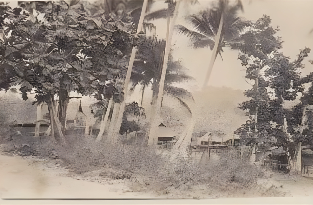
Kourabada, Muniogo and Matirogo… 3 mile area, existed in the early days, most have migrated to Kira² and Hanuabada, Hohodae, big name, but there are 4 Koita tribes that are; Geakone, Tupa, Taurama, and Dubara Clans. these are Kotabu clans, within the Motu clans…. to this day the Decedent’s of Pidi Monise and others still reside there at Muniogo…and Matirogo….(Kourabada, was the stretch from Muniogo to Matirogo). fyi.
 

Eric Rabura Hoge

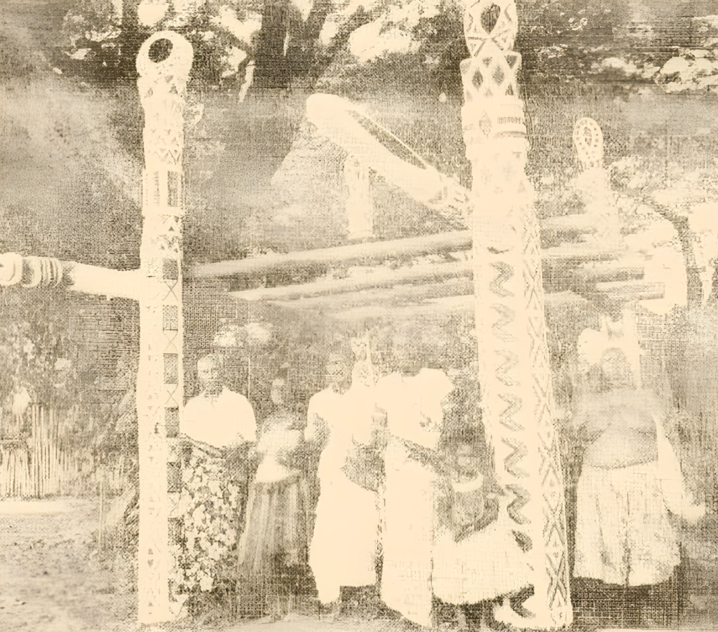
This Koita Village was abandoned due to deaths in this village in 1925. They went to join Kirakira and Korobosea villages.

Here are some interesting comments on the post below. 

Facebook
Twitter
LinkedIn
WhatsApp
Email